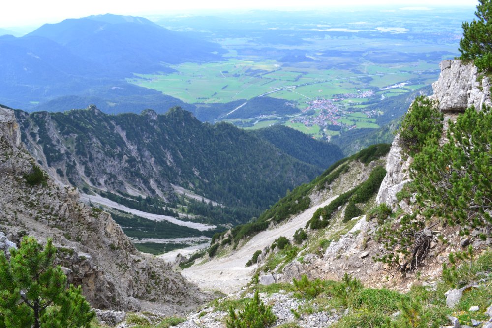
Hiking downhill and recording the highest occurrences of a total of 23 tree species with the BAYSICS app – that is the idea of the BAYSICS sub-project 6 “Height limits of tree species”. As Citizen Scientists, the participants map the current tree boundaries in the Bavarian Alps. The current data will then be compared with data from 1854, when it was on average almost 2° C colder than today.
To ensure that even more mountain hikers participate, multipliers who are professionally active as foresters, in environmental education or in nature conservation were trained in May 2021. The multipliers now offer guided hikes themselves, showing the consequences of climate change for the mountain forest and how hikers can contribute to climate research with the BAYSICS app.
The next guided tours will take place on 9 October at Hochgrat (Nagelfluhkette) and on 24 October at Herzogstand (Kocheler Berge). For more information, please contact Sabine Rösler (sabine.roesler@hswt.de).
Link to the BAYSICS portal, where you can also download the web app for free.


